

A Complete Overview Of Seismic Refraction Survey

By Kerry Cooper
Founder & Lead Geotechnical Engineer

Before construction even begins, geotechnical engineers need to figure out what lies deep under the ground.
That’s because the surface rarely tells the full story.
At first, a site might look perfectly stable. But underneath, there could be shallow bedrock, fractured rock zones, weak soil layers, hidden voids, or groundwater conditions that completely change how a project should be designed.
Now, one of the most useful tools geotechnical engineers use during subsurface investigations is something called a seismic refraction survey.
And let me tell you this is simpler than it sounds.
Seismic refraction surveying simply helps engineers see below the ground surface by measuring how seismic waves travel through different underground materials.
As a geotechnical consultant, I’ve seen how valuable this is before excavation, foundation work, or large-scale construction.
But then, a lot of property owners have never heard of this before. In fact, many of them learn about seismic surveys only after their engineer recommends one.
And if you are one such property owner, this blog is for you.
Read on to know everything about seismic refraction surveys without the unnecessary engineering jargon, including:
- What a seismic refraction survey is
- How seismic surveys works
- The equipment used during testing
- What engineers detect underground
- The advantages and limitations of seismic refraction surveys
And a lot more
Key takeaways
- Seismic refraction surveying uses seismic waves to study underground conditions.
- The test helps identify soil layers, bedrock depth, and subsurface changes.
- Seismic waves travel at different speeds through different materials.
- Engineers use geophones and controlled energy sources during testing.
- Seismic surveys are commonly used in construction and geotechnical investigations.
- The method is non-invasive and covers larger areas than drilling alone.
What is a seismic refraction survey exactly?
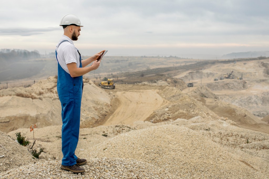
For starters, a seismic refraction survey is a geotechnical testing method used to see what’s beneath the ground surface.
The test works by sending small seismic waves into the ground and measuring how quickly those waves travel through underground materials.
You see, different materials transmit seismic energy at different speeds. For instance:
- Solid bedrock usually allows waves to travel very quickly
- Loose soil slows the waves down
- Saturated materials behave differently than dry materials
- Fractured zones can disrupt wave movement completely
Now, engineers analyze these travel times to estimate things like soil layer thickness, depth to bedrock, subsurface rock quality, groundwater conditions, and changes within the underground profile.
In short, seismic refraction surveying helps engineers create a picture of underground conditions without having to excavate the entire site. They include this in their geotechnical report which helps ensure safe early-stage construction planning.
Don’t Let Site Conditions Delay Your Project
From geotechnical reports to environmental assessments, and more, our ACI-certified experts deliver the data and insights you need to stay on schedule.

How does seismic refraction survey work?
At its basic, a refraction seismic survey works by measuring how seismic waves travel through different underground layers.
You see, when seismic waves enter the ground, they move through the subsurface until they hit a different material layer. And when that happens, the wave changes speed and direction.
This bending of seismic waves is what is called refraction.
Now, engineers use specialized equipment to record how long these waves take to travel underground and return to surface sensors. From there, they can analyze the data and estimate subsurface conditions.
Overall, here’s how seismic refraction surveying works:
Step 1. Geophones are placed along the ground
Here, engineers lay out a line of sensors called geophones across the site. These are spaced at specific intervals depending on site size, investigation depth, soil conditions, and project requirements.
Also, in many seismic refraction surveys, multiple geophones are connected together using cables and digital recording equipment.
2. A seismic energy source creates ground vibrations
Once the geophones are installed, engineers generate seismic energy at specific locations along the survey line.
This energy source might include a hammer striking a steel plate, specialized seismic equipment, weight drops, or other controlled impact methods.
Now, this does not create anything damaging or dangerous. The vibrations are small, controlled, and specifically designed for subsurface testing.
3. Seismic waves travel through underground materials
This is where the science behind seismic refraction surveying happens.
You see, seismic waves move at different speeds depending on the material they pass through.
So when the waves hit a boundary between two underground layers with different seismic velocities, part of the wave bends and travels along the layer boundary.
This refracted wave eventually returns toward the surface and gets detected by the geophones. Here, the equipment records arrival times, wave velocities, travel distances, and subsurface velocity changes.
4. Engineers analyze the seismic data
Once testing is complete, engineers analyze the recorded wave travel times using specialized software and interpretation methods.
This allows them to estimate subsurface layer depths, bedrock elevations, material boundaries, rock quality variations, and underground anomalies.
The final result is a subsurface profile showing how underground conditions change across the site.
In short, here’s how seismic refraction survey works:
| Step | What Happens |
| Geophones installed | Sensors placed along survey line |
| Energy source created | Controlled seismic waves enter ground |
| Waves travel underground | Different materials affect wave speed |
| Data recorded | Geophones measure arrival times |
| Engineers analyze results | Underground profile is created |
What does seismic refraction surveying detect?

One of the biggest advantages of seismic refraction surveying is that it helps engineers inspect large areas below the surface without excessive drilling.
Now, this does not mean seismic testing completely replaces borings or excavation. But it does provide valuable subsurface information between boreholes and across areas that would otherwise remain unknown.
And for many construction projects, this additional information becomes extremely important.
Here are some of the most common things engineers use seismic refraction surveys to detect:
1. Depth to bedrock
This is probably one of the most common uses of seismic refraction surveying.
Bedrock depth can vary significantly across a site. In some areas, rock might sit only a few feet below the surface. In others, it could be much deeper.
And obviously, that matters a lot for foundation design, excavation planning, blasting requirements, utility installation, and construction costs.
Now, since seismic waves travel much faster through solid rock than soil, engineers can identify where bedrock begins underground. This helps create a more complete bedrock profile across the site.
2. Soil and subsurface layer changes
Subsurface conditions are rarely uniform. While one part of a site might contain dense soils, another area can have loose or weathered materials.
And these changes can significantly affect bearing capacity, settlement behavior, slope stability, and pavement performance.
A refraction seismic survey helps engineers identify transitions between different underground layers by analyzing seismic wave velocities. This provides a better understanding of overall site conditions before construction begins.
3. Fractured rock zones
Not all bedrock is solid and uniform. In many areas, rock can contain fractures, fault zones, weathered sections, or weakened layers.
From a construction standpoint, these conditions matter a lot. That’s because fractured rock can affect foundation stability, excavation difficulty, groundwater movement, rock blasting operations, and overall slope performance.
Now, since seismic waves travel slower through fractured or weathered rock than through intact rock, engineers can identify areas where rock quality changes underground.
This is especially useful for roadway projects, retaining structures, and large commercial developments built on variable rock conditions.
4. Groundwater conditions
Seismic refraction is not always the primary method used during groundwater consulting.
But in some situations, engineers can identify changes in moisture conditions based on seismic velocity differences. That’s because:
- Saturated soils transmit waves differently than dry soils
- Weathered saturated zones appear distinct from dense materials
- And groundwater-related changes sometimes become visible within the subsurface profile
This additional information can help support broader geotechnical investigations.
5. Rippability of rock
Before excavation begins, contractors want to know:
- Can the rock be excavated using heavy equipment?
- Or will blasting be required?
And obviously, this significantly affects project costs and scheduling.
Seismic wave velocity helps determine rock hardness and strength. Here, higher seismic velocities indicate harder and more difficult-to-excavate rock.
So engineers sometimes use seismic refraction surveys to estimate rock rippability before major earthwork operations begin. This helps contractors plan excavation equipment and construction methods more accurately.
In short, here’s what seismic refraction surveys help detect:
| Subsurface Feature | Why It Matters |
| Depth to bedrock | Affects foundations and excavation |
| Soil layer changes | Impacts settlement and stability |
| Fractured rock zones | Influences structural performance |
| Groundwater conditions | Affects drainage and soil behavior |
| Rock rippability | Helps plan excavation methods |
Bonus: Here are some benefits of seismic refraction surveys for construction projects
| Benefit | Why It Helps |
| Better subsurface understanding | Reduces underground uncertainty |
| Continuous site information | Fills gaps between borings |
| Large area coverage | Useful for infrastructure projects |
| Non-invasive testing | Minimizes site disturbance |
| Early risk identification | Helps avoid costly surprises |
What are the limitations of seismic refraction surveys?
Now, while seismic refraction surveys are extremely useful, they do have limitations.
For starters, this method works best when underground materials become denser with depth. But if a thinner soil layer exists under a dense layer, some subsurface conditions can become difficult to detect accurately.
Also, complex underground conditions like fractured rock, mixed fill materials, or uneven bedrock can affect interpretation accuracy.
Another important thing you should know is that seismic refraction does not physically collect soil samples. So engineers still rely on borings and laboratory testing to evaluate soil properties properly.
And lastly, outside vibrations from traffic, construction equipment, or nearby machinery can also interfere with seismic readings.
This is exactly why seismic refraction surveys are usually combined with other geotechnical investigation methods instead of being used alone.
In short, here are the limitations of seismic refraction surveys:
| Limitation | Why It Matters |
| Velocity inversion issues | Some layers become harder to detect |
| Complex geology | Interpretation becomes more difficult |
| No physical samples | Borings are still needed |
| Surface vibration noise | Can affect data quality |
Can seismic refraction surveys completely replace geotechnical investigations?
No, it can’t.
Seismic refraction surveys are a part of a much larger site investigation process, but not a standalone method.
That’s because every testing method provides different types of information. For instance:
- Seismic surveys provide broader subsurface profiling
- Borings provide direct samples
- Laboratory testing evaluates engineering properties
- Field testing confirms soil behavior
Now, when combined together, these methods create a much more reliable understanding of underground conditions.
So while seismic refraction surveying is valuable, it works best as a complement to larger geotechnical investigations rather than a complete replacement.
Don’t Let Site Conditions Delay Your Project
From geotechnical reports to environmental assessments, and more, our ACI-certified experts deliver the data and insights you need to stay on schedule.
Final words
As you can see, a seismic refraction survey is one of the most useful tools engineers use to understand what lies beneath a construction site.
They analyze how seismic waves travel underground to estimate bedrock depth, soil layer changes, rock quality, groundwater conditions, and other important subsurface features.
And in many projects, this information helps reduce uncertainty, improve planning, and avoid costly surprises during construction.
Now, while seismic refraction surveys do have limitations, they remain an extremely valuable part of modern geotechnical and subsurface investigations when used alongside drilling and other testing methods.
Got more questions or need professional geotechnical investigation services?
You can get in touch with us.
At NewTech Engineering, we provide geotechnical engineering and subsurface investigation services backed by decades of hands-on experience throughout the Carolinas.
Our engineers help property owners, developers, and contractors understand challenging site conditions before they turn into costly construction problems.
FAQs about seismic refraction surveys
What is a seismic refraction survey?
A seismic refraction survey is a geophysical testing method used to investigate underground conditions.
The process works by sending seismic waves into the ground and measuring how quickly those waves travel through different subsurface materials.
How does the seismic refraction survey method work?
The seismic refraction survey method uses controlled seismic energy and ground sensors called geophones.
Once seismic waves enter the ground, they travel through underground layers at different speeds depending on the material properties.
Engineers then analyze the recorded travel times to create a subsurface profile.
What can seismic refraction surveys detect?
Seismic refraction surveys can help detect:
- Depth to bedrock
- Soil layer changes
- Fractured rock zones
- Weathered materials
- Groundwater-related conditions
- And excavation characteristics
The method is commonly used during geotechnical and construction investigations.
What equipment is used during seismic refraction surveying?
Most seismic refraction surveys use:
- Geophones
- Seismic energy sources
- Recording equipment
- And interpretation software
The energy source here is often a controlled hammer impact or mechanical vibration system used to generate seismic waves underground.
Are seismic refraction surveys accurate?
Yes, seismic refraction surveys can provide very useful subsurface information when performed and interpreted correctly.
However, accuracy depends on site geology, survey design, data quality, and interpretation methods.
What is the difference between seismic refraction surveys and drilling?
Drilling collects actual soil and rock samples from specific locations.
A seismic refraction survey, on the other hand, estimates underground conditions across larger areas by analyzing seismic wave travel times.
The two methods are often used together during geotechnical investigations.
Where are seismic refraction surveys commonly used?
Seismic refraction surveys are commonly used for:
- Building construction
- Roadway projects
- Bridge investigations
- Dam evaluations
- Quarry operations
- Environmental studies
They are especially useful when engineers want to evaluate underground conditions over large areas.
Can seismic refraction surveys replace soil borings?
No.
While seismic refraction surveys provide valuable subsurface profiling, they do not replace direct soil sampling and laboratory testing.
Most geotechnical investigations still require borings to confirm soil and rock properties accurately.
Kerry Cooper is the founder of New Tech Engineering, He brings over 20 years of hands-on experience in geotechnical investigation, soil analysis, and foundation design across residential, commercial, and infrastructure projects. Kerry leads a team focused on delivering data-driven insights that help builders and developers make smarter, safer decisions from the ground up.